gps tracking on your ArcGIS maps, displayed in your asset, limited only by radio range !
unique identifier, breadcrumbs, PIN drops, man-down alert and Area calculations.
RangerTrax© android: Powered by Esri !
RangerTrax© running on Android, powered by ESRI’s ArcGIS Runtime Software Develop Kit provides users access
to a their ArcGIS organization or public server for downloading TPK, VTPK & MMPK map formats.
RangerTrax© uses Knox EMM and MDM for security with Microsoft InTune compatibility.
we keep it simple
RangerTrax© has been designed on the KISS principle, requires no login and runs in “Kiosk mode.” At power-up, the system boots and automatically runs the RangerTrax© application. Your location and unique identifier are centered on the map with GPS lock in less than a minute.
RangerTrax© works independent of any network. However, if a network is available, Maps download and track data uploads automatically to your server.
rangertrax© hardware configuration options
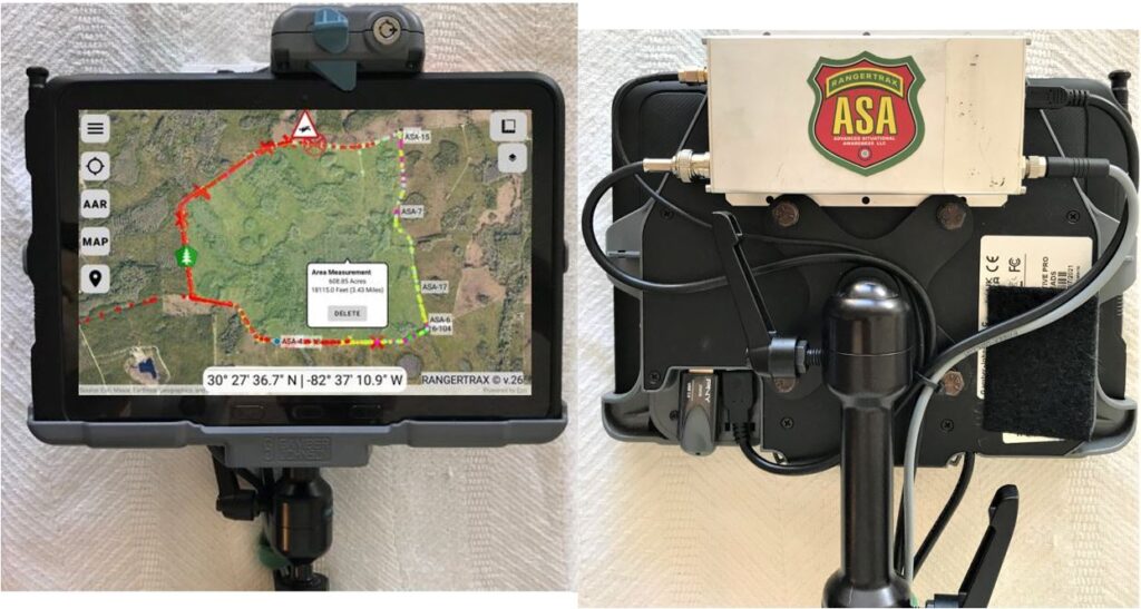
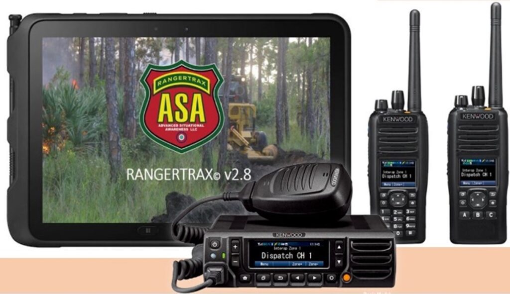
RangerTrax© utilizes vehicle and aircraft mounted VHF or UHF data radio modems, GPS enabled Land Mobile Radios and Personnel Trackers .
asset Tracking
Offline mapping solution with Radio Frequency based tracking with your call signs.
![Screenshot_20220216-151235_RangerTrax[5847] Screenshot_20220216-151235_RangerTrax[5847]](https://rangertrax.com/wp-content/uploads/2022/03/Screenshot_20220216-151235_RangerTrax5847-1024x640.jpg)
Drop NWCG standard pins
Drop a PIN and all assets in radio range see it. Type in the coordinates for local PIN Drops.
![Screenshot_20220205-193025_RangerTrax[5631] Screenshot_20220205-193025_RangerTrax[5631]](https://rangertrax.com/wp-content/uploads/2022/03/Screenshot_20220205-193025_RangerTrax5631-1024x640.jpg)
Multiple MAp Types and layers
Tracks displayed on your ArcGIS Organization's maps. Google and OSM maps dowload autoamtically with connectivity .
![Screenshot_20220205-192154_RangerTrax[5626] Screenshot_20220205-192154_RangerTrax[5626]](https://rangertrax.com/wp-content/uploads/2022/03/Screenshot_20220205-192154_RangerTrax5626-1024x640.jpg)
Man-down alert
Broadcasts Man-Down alert with User ID and GPS coordinates to all assets in radio range.
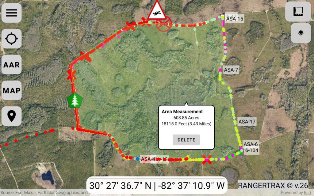
measure distance and area
Area calculations
Linear Measurements
Single Point Coordinate display
critical data sharing
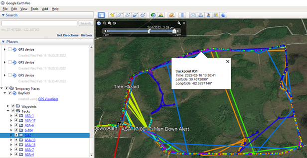
RangerTrax© automatically uploads GPX file format track data
to your server for display in apps such as Google or Collector.
situational awareness Is the Key to safety
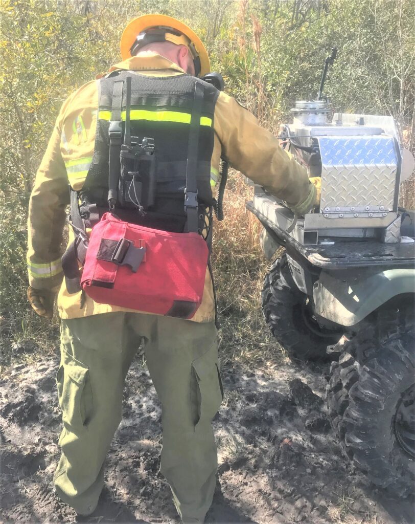
RangerTrax© enhances wildland firefighter safety. RangerTrax© will increase safety in remote and dangerous areas. Knowing your location and your co-worker's location and how they got there is often a huge challenge in wildfire fighting. RangerTrax© provides an additional level of safety and security to the brave men and women who respond to the challenges of wildland firefighting.
